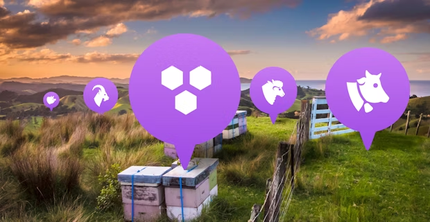
Geospatial pins have long been part of Agworld, and offer a way to mark a place on your farm map so that you can easily refer back to this specific location on the map. Existing pins in Agworld have come in particularly useful for ground-truthing geospatial data layers such as vegetative imagery, yield data or soil test results. In order to improve the functionality of geospatial pins in Agworld, we have recently created a lot of new pin types and have also added the possibility for you to add custom colours to your pins.

You can now choose from over 20 different pin types available in livestock, soil, water, hazards & safety, and infrastructure categories. The livestock pins for example allow you to mark your sheep or cattle herds in a field on your farm map and add herd-specific information in the notes attached to this pin. You can even use the new custom colour functionality to mark the ear tag colour for example. Apart from just marking where your herd is, you are also able to create location pins for water sources, water tanks, troughs and other livestock specific infrastructure.

The new pin types for hazards & safety, and infrastructure, are designed to help you create an as complete as possible farm map for OH&S compliance and efficiency purposes. When you have new farm staff join your business or you are hosting visitors, Agworld makes it easy to get them up to speed on the location of all important features and infrastructure of your farming operation. Whether someone needs to locate the first aid facilities in a rush or is looking for the nearest fuel tank, one glance at the Agworld farm map will give them all the information they need.

Bees

Cattle

Goats

Pig

Sheep

Soil probe

Soil type

Rain gauge

Trough

Water Source

Water tank

Weather station

First aid

Hazard

Obstruction

Power pole

Rock

Tree

Building

Entrance

Fuel pump

Shed

Silo

Solar

Pivot

Site

Trial

Other
In order to differentiate the different pin types even further, you can also assign them custom colours. By being able to colour code individual pins you can ensure that the most important pins stand in their location and you can change a colour to indicate a change of status. A trough that has run dry can be marked red on the farm map for example so that other connected users in Agworld can see exactly to which location they need to drive in order to investigate an issue, and then mark the pin green again once the issue has been fixed.
We are confident that you’ll derive a lot of benefits from these new product updates and, as always, please don’t hesitate to contact your customer success representative should you have any questions or issues.


